
FLOODS & GEOLOGY
Shaping the Valley
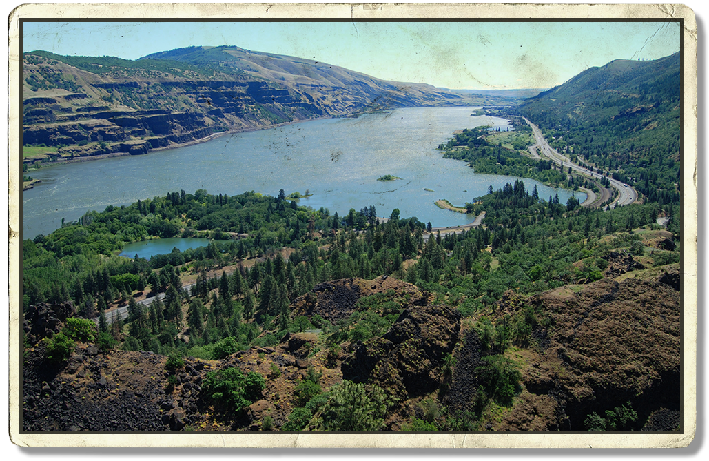
Around 12,000 to 17,000 years ago, massive Ice Age Floods transformed the Willamette Valley, carrying rocks and sediments across the region. These floods left behind glacial erratics and rich deposits of gravel, silt, and clay that helped create the valley’s fertile soils.
Today, evidence of these ancient floods can still be seen throughout the landscape, while their deposits continue to support the region’s abundant agriculture and renowned vineyards.
DISCOVER THE LANDSCAPE
Explore Amity’s Outdoors
The Fertile Floodplain
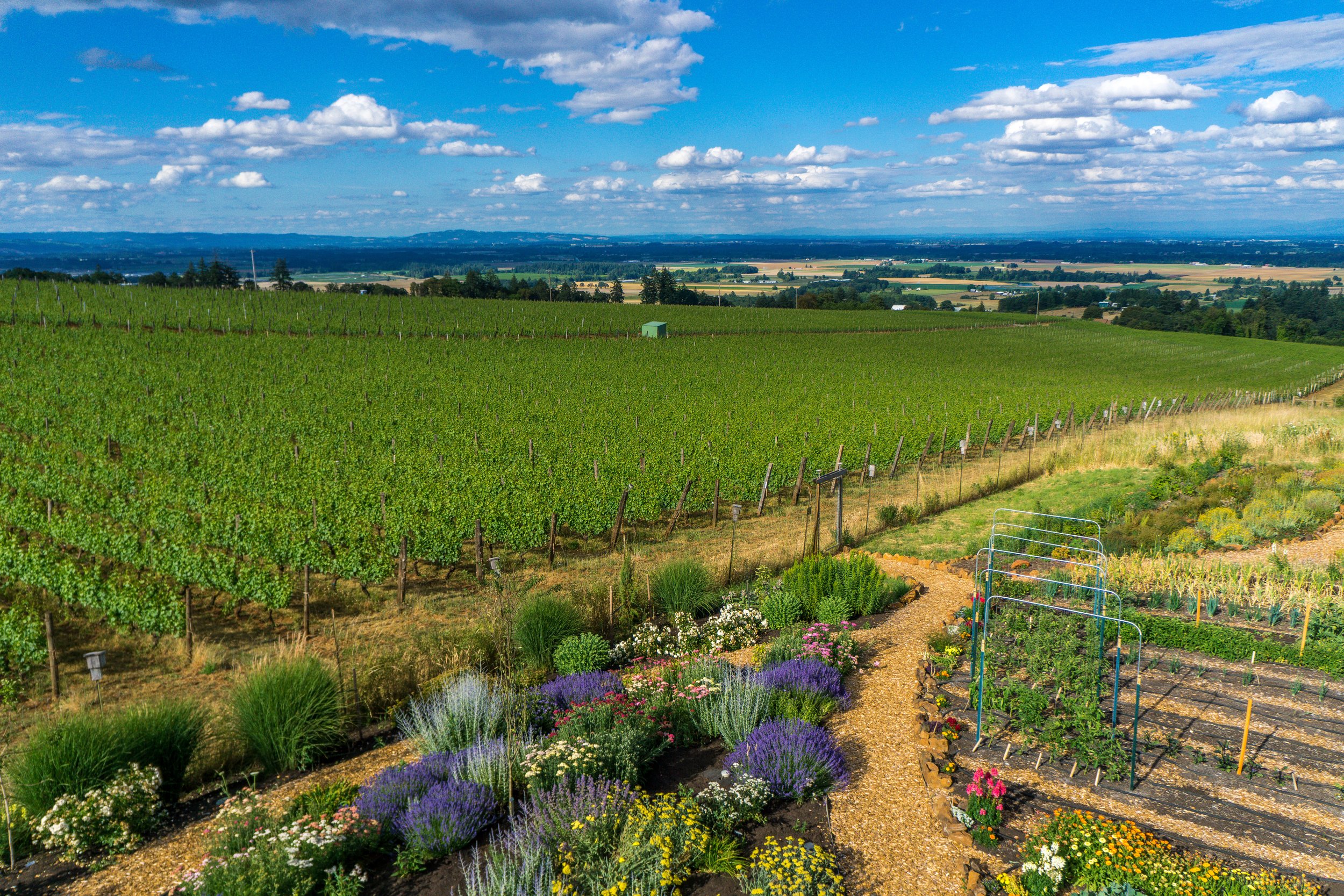
The Ice Age Floods deposited vast amounts of gravel, silt, and clay that helped make the Willamette Valley an extremely fertile floodplain. As a result, you’ll find one of the nation’s most fertile agricultural areas. Perfect for Pinot Noir, Pinot Blanc, and Pinot Gris grapes!
Erratic Moves
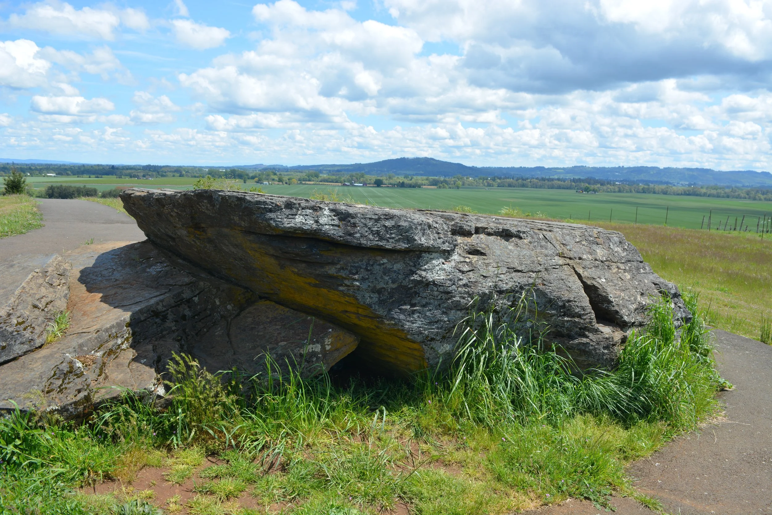
Visit Erratic Rock State Natural Area near Salem to learn more. You can see a 90-ton boulder from the Rocky Mountains deposited by the massive flood force. It is the largest glacial erratic found in Oregon.
TIP: an erratic is a boulder or big rock that has been moved a great distance by a glacier. It sticks out, sort of a sore thumb, in the surrounding landscape!
Follow the Floods
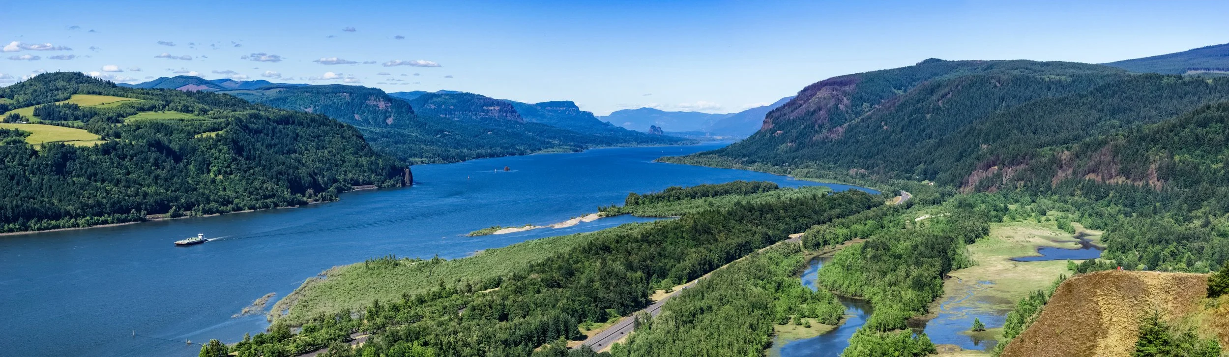
You can visit sites throughout Oregon, Washington, Idaho, and Montana at the National Park Service Ice Age Floods National Historic Trail. The flood region in Oregon includes the Willamette Valley floor from the Portland Basin south to Salem, Corvallis, and Eugene. You can see flood deposits and ice-rafted erratics throughout the region.
INTERACTIVE MAP
Find Your Next Stop